Note:
The item is located abroad. Please note that delivery conditions, shipping times, and/or the purchase process may differ.
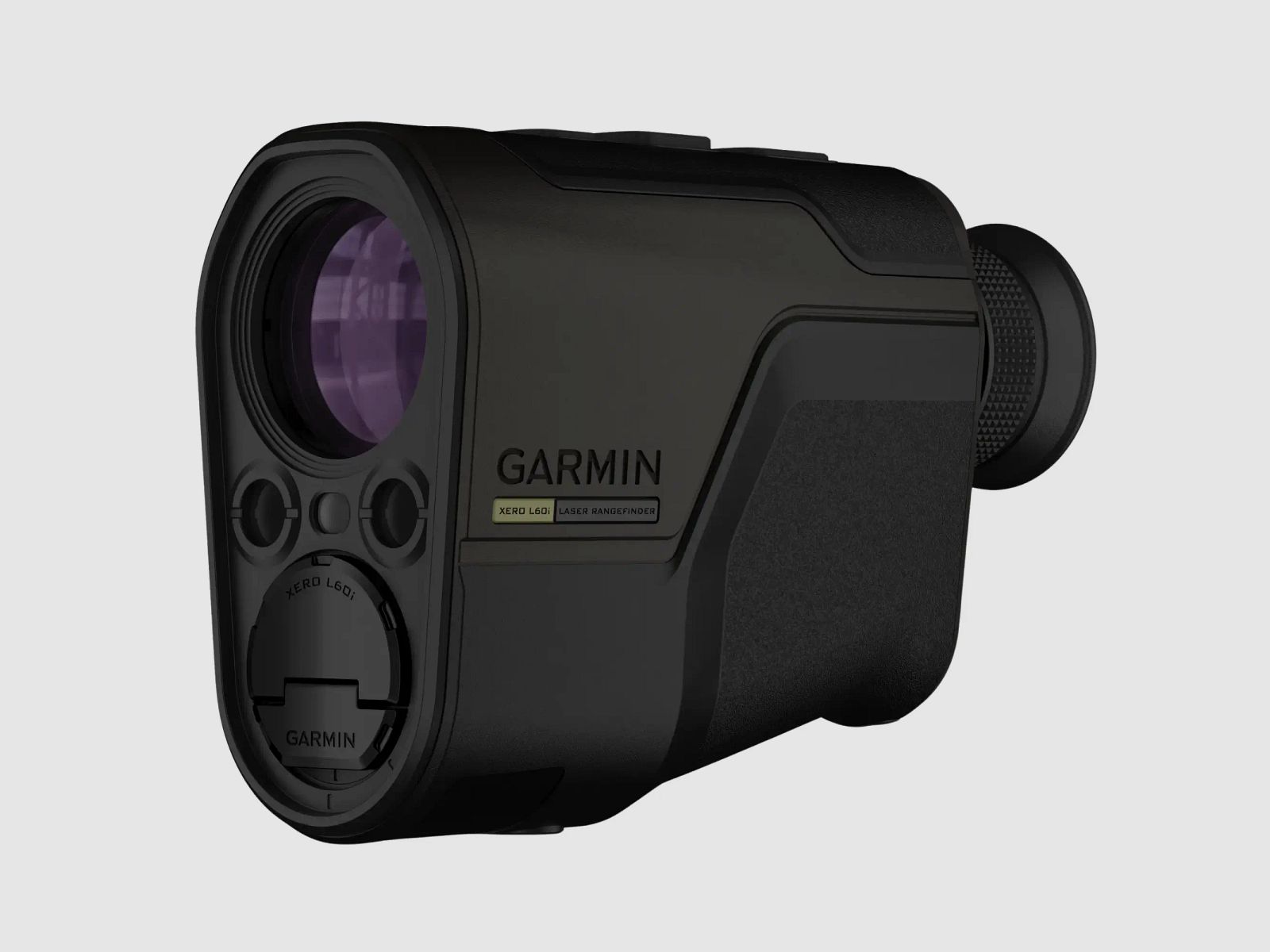
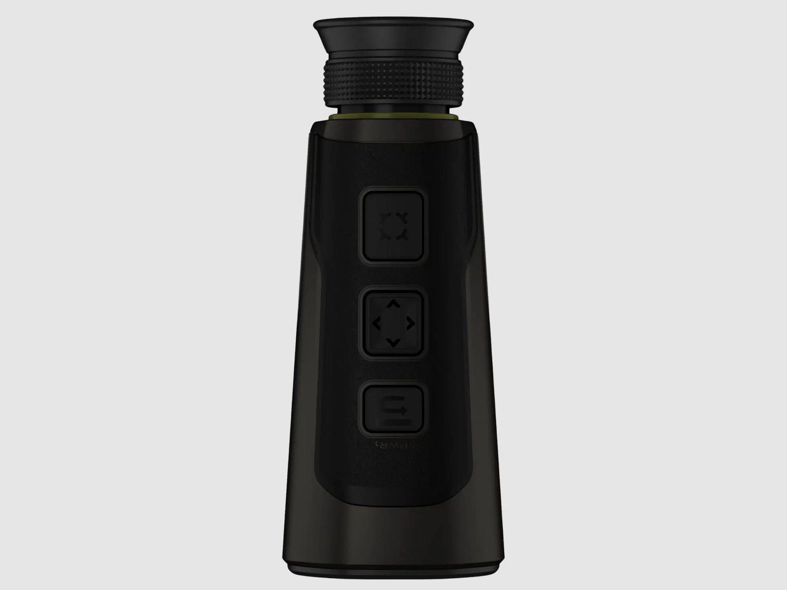
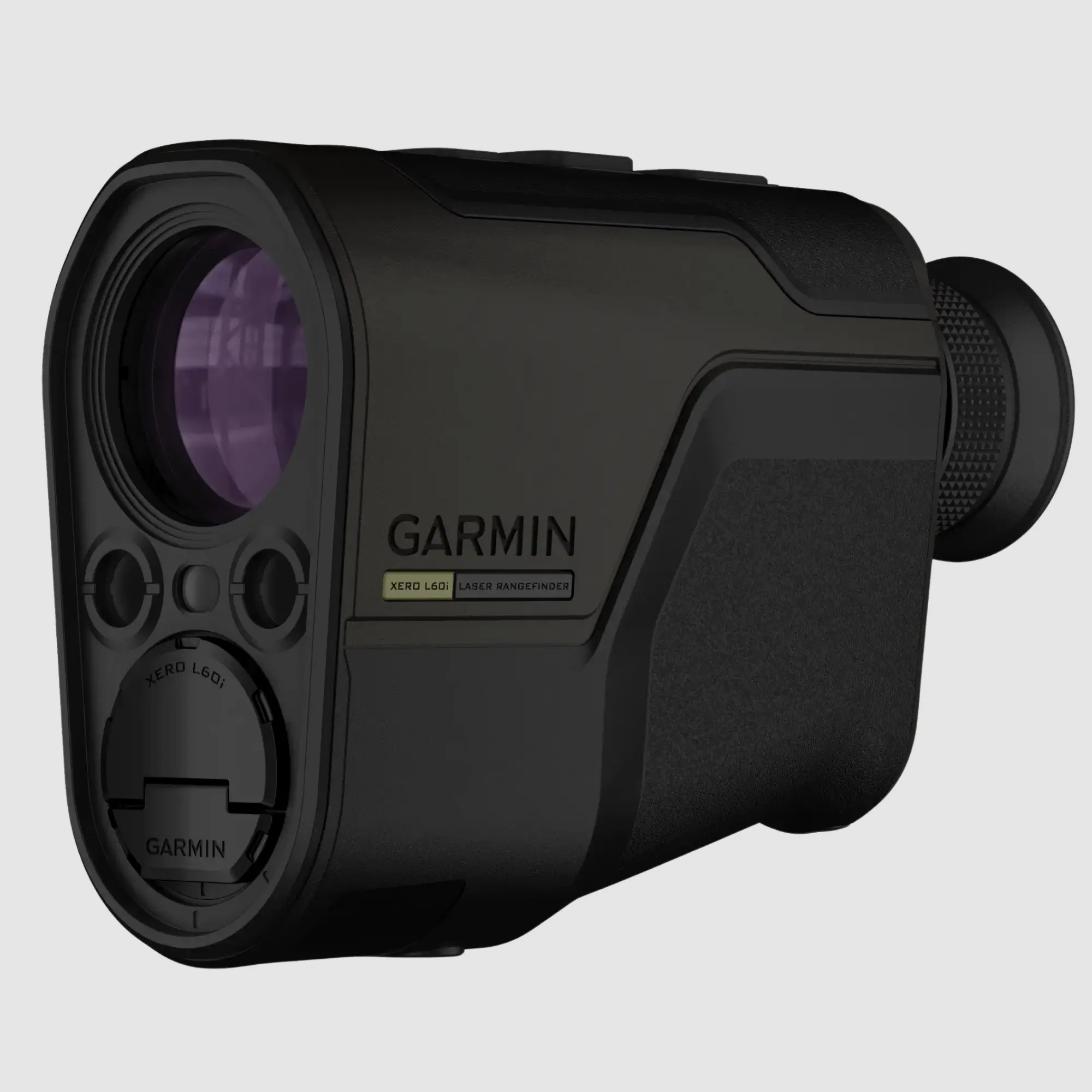
Garmin Xero L60i – Rangefinder with Maps, Waypoints, and Ballistics in View
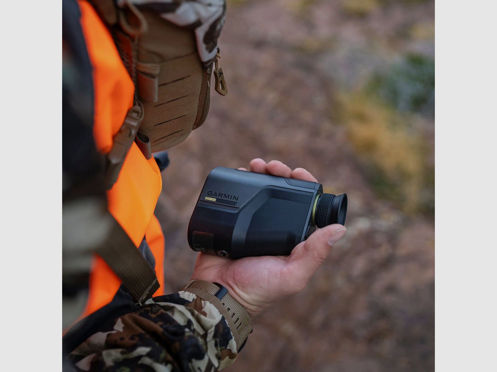
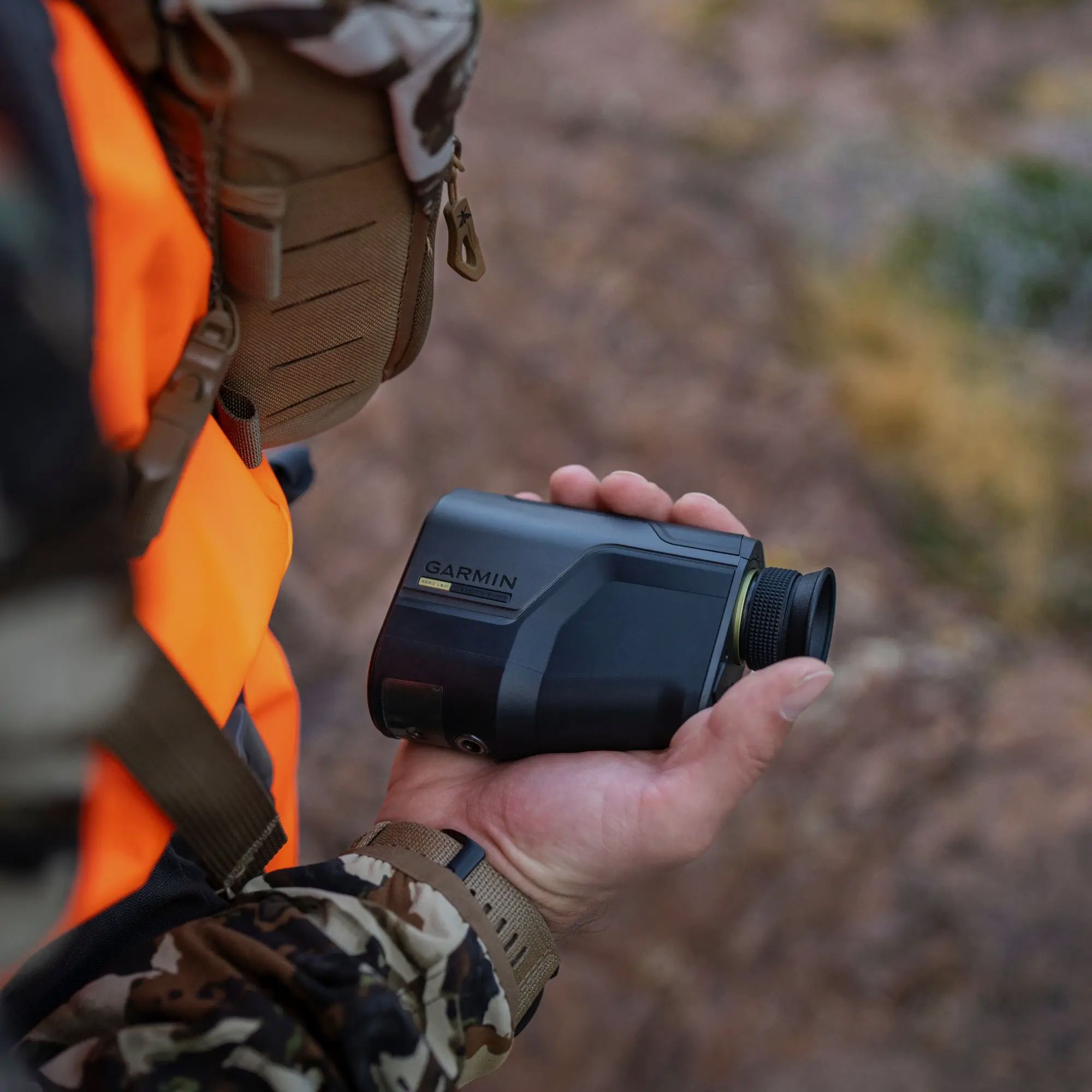
A good feeling arises when distance, direction, and position align. The Garmin Xero L60i combines a precise laser rangefinder with GNSS, sensors, and a colored display overlay. This way, when aiming, you not only see distance values but also, if desired, maps, compass, and navigation instructions directly in view.
In the field, this is practical when terrain, clearings, and edges change quickly. You measure, set waypoints, and keep marked positions in sight without constantly pulling out your smartphone.
Measure distance, quickly assess
With 7x magnification and clear optics, the Xero L60i reliably measures hunting-relevant targets. In bright conditions, it reaches up to 1,375 m on animals and up to 1,800 m on trees. Under optimal conditions, significantly greater distances are possible, up to 7,000 m on retroreflective targets.
Map and navigation directly in view
The graphical color overlay displays distance, position, and navigation clearly in the image. With the integrated TopoActive maps, you can be guided to set points, including orientation via a 3-axis compass and sensors. If a marking gets out of sight, the visual recall helps to find the position again.
Set waypoints, even if the target is far out
With Laser Locate, you project a waypoint onto a measured object and save the position. If a point is outside the laser range, Sensor Locate can also set a position marking. This helps in fieldwork, for example, to later return cleanly to hit areas, stands, or prominent terrain points.
Ballistics and Garmin ecosystem sensibly linked
Through the AB Quantum app, you can use Applied Ballistics Ultralight, which can be unlocked via the app. The Xero L60i can thus display ballistic information if needed. For archery, additional data such as angle-corrected distance and other arrow values are available.
Waypoints and data can be transferred to compatible Garmin devices and the Garmin Explore app. This is helpful when working in a team or wanting to document positions cleanly.
Key features at a glance
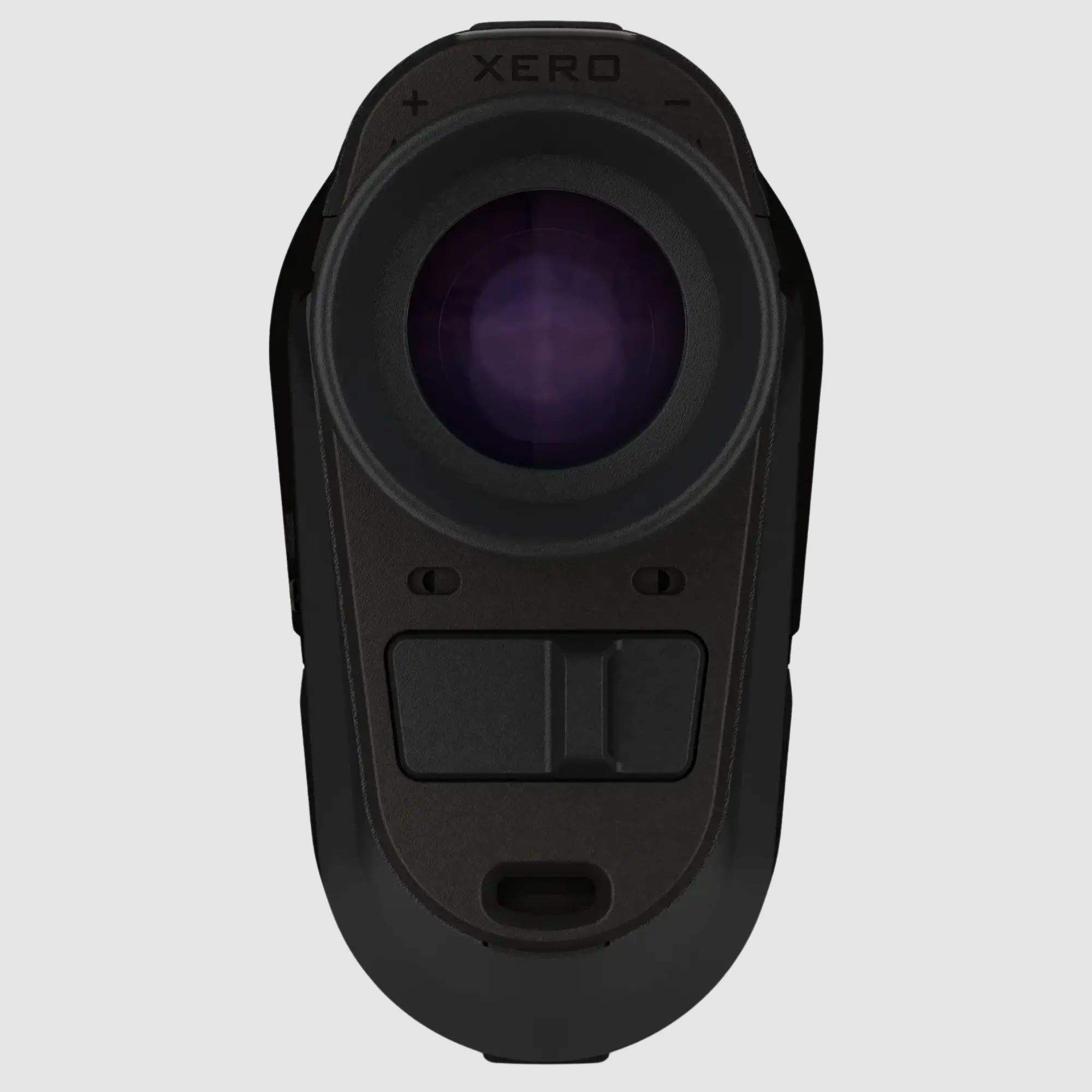
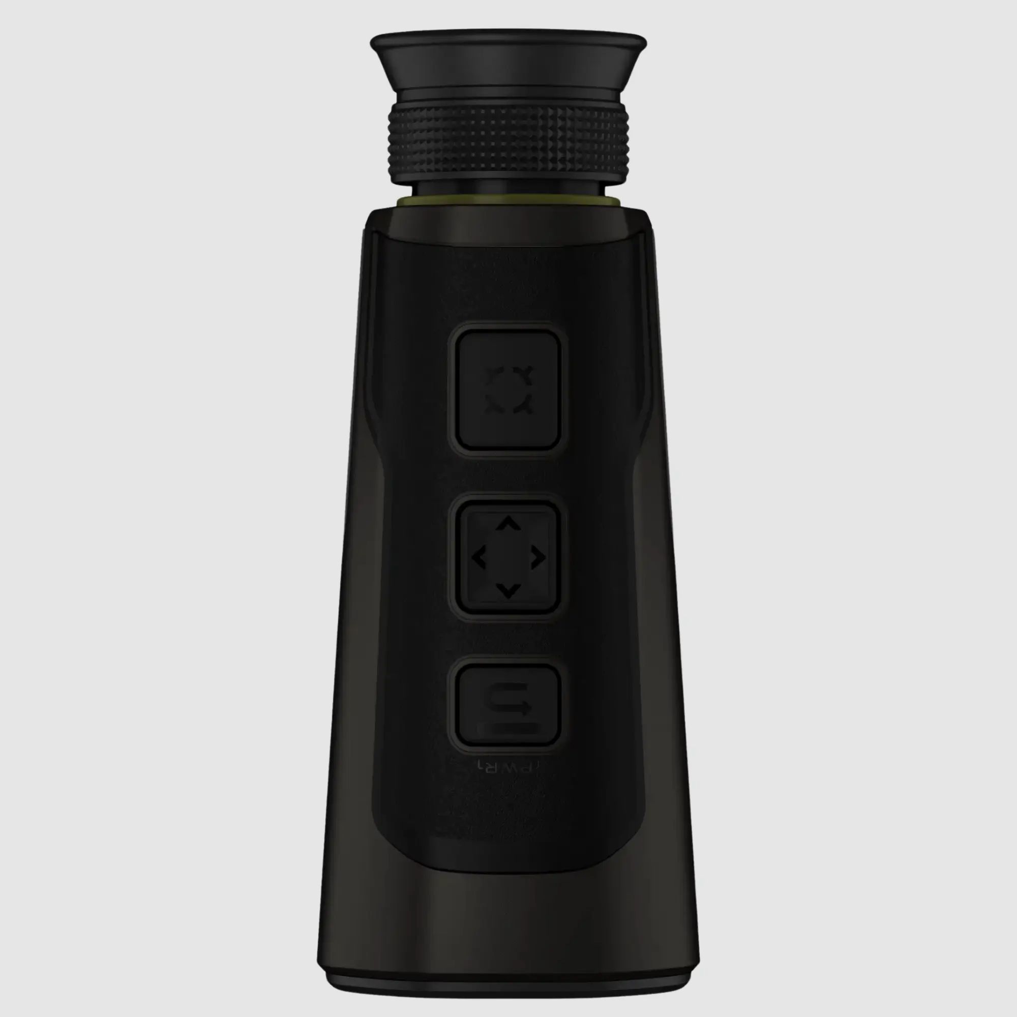
Laser rangefinder with colored graphical overlay in view
Measurement range in bright conditions: animals up to 1,375 m, trees up to 1,800 m
High maximum distance under optimal conditions up to 7,000 m (retroreflective)
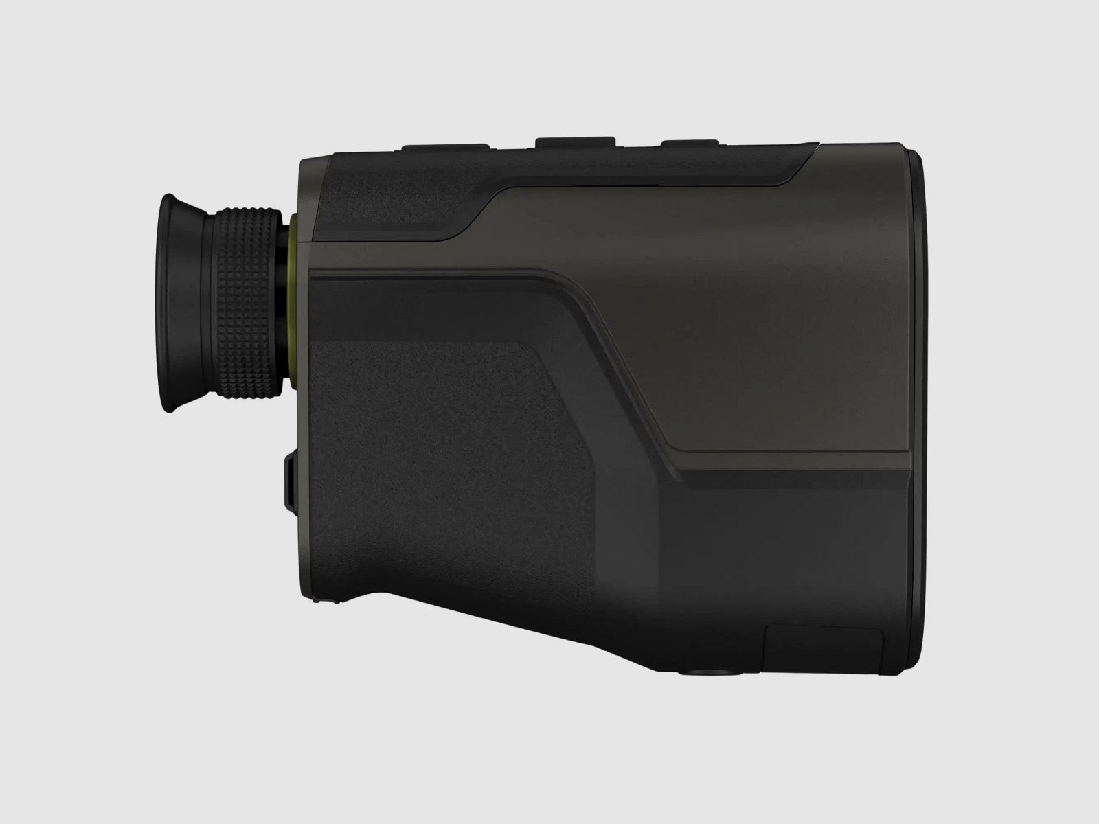
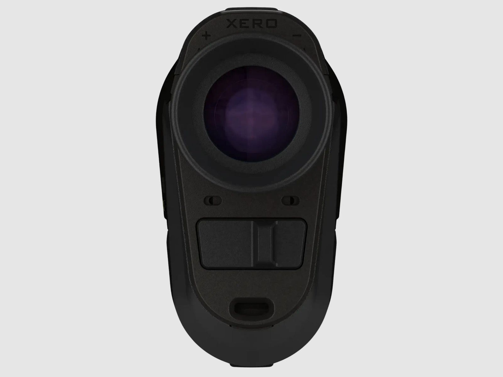
7× magnification and clear optics
GNSS and sensors for precise position determination
Laser Locate and Sensor Locate for setting projected waypoints
TopoActive maps, 3-axis compass, elevation information, and navigation
Visual recall for finding marked positions again
Applied Ballistics unlockable via app, plus Xero ballistics for archery
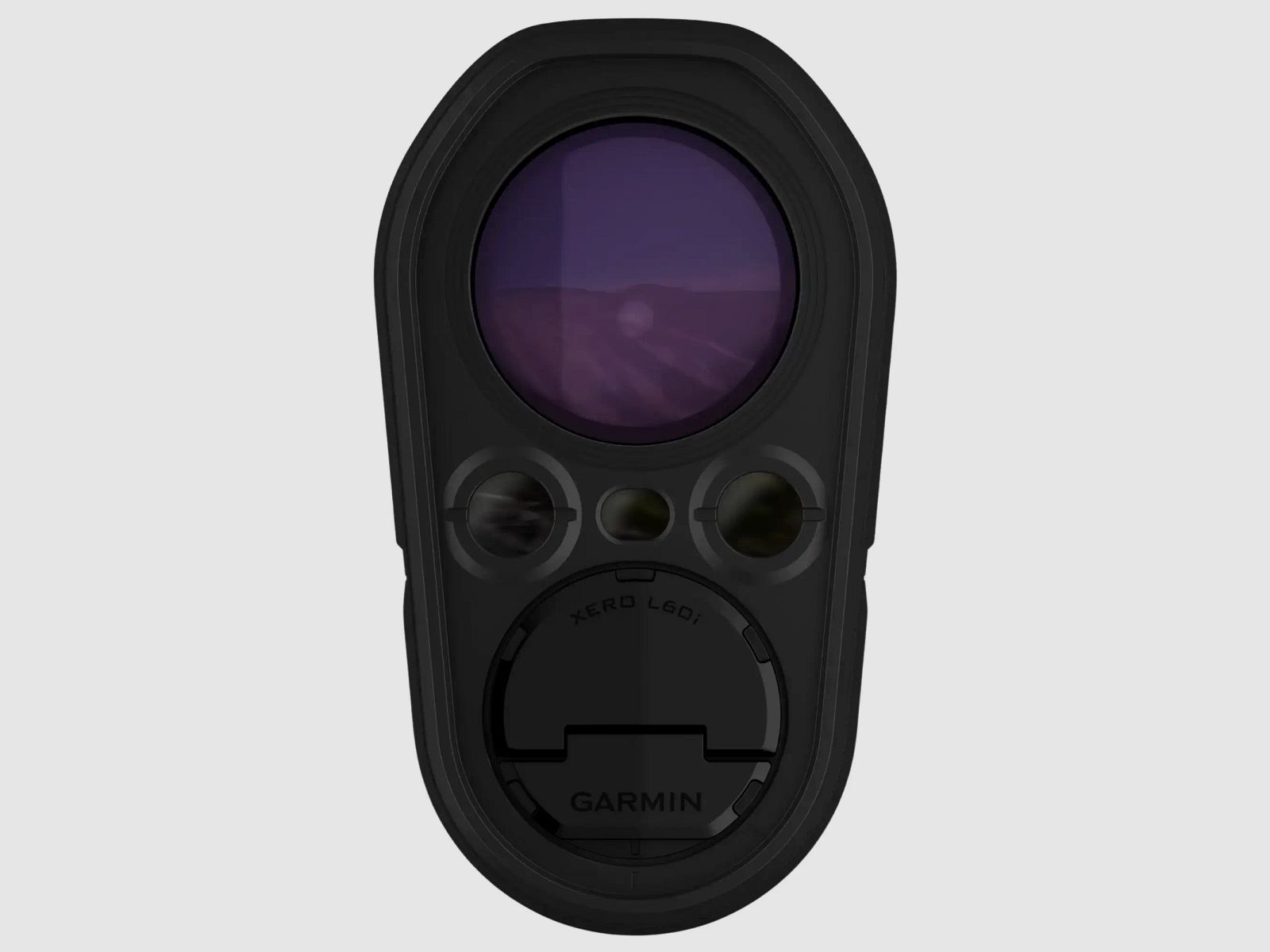
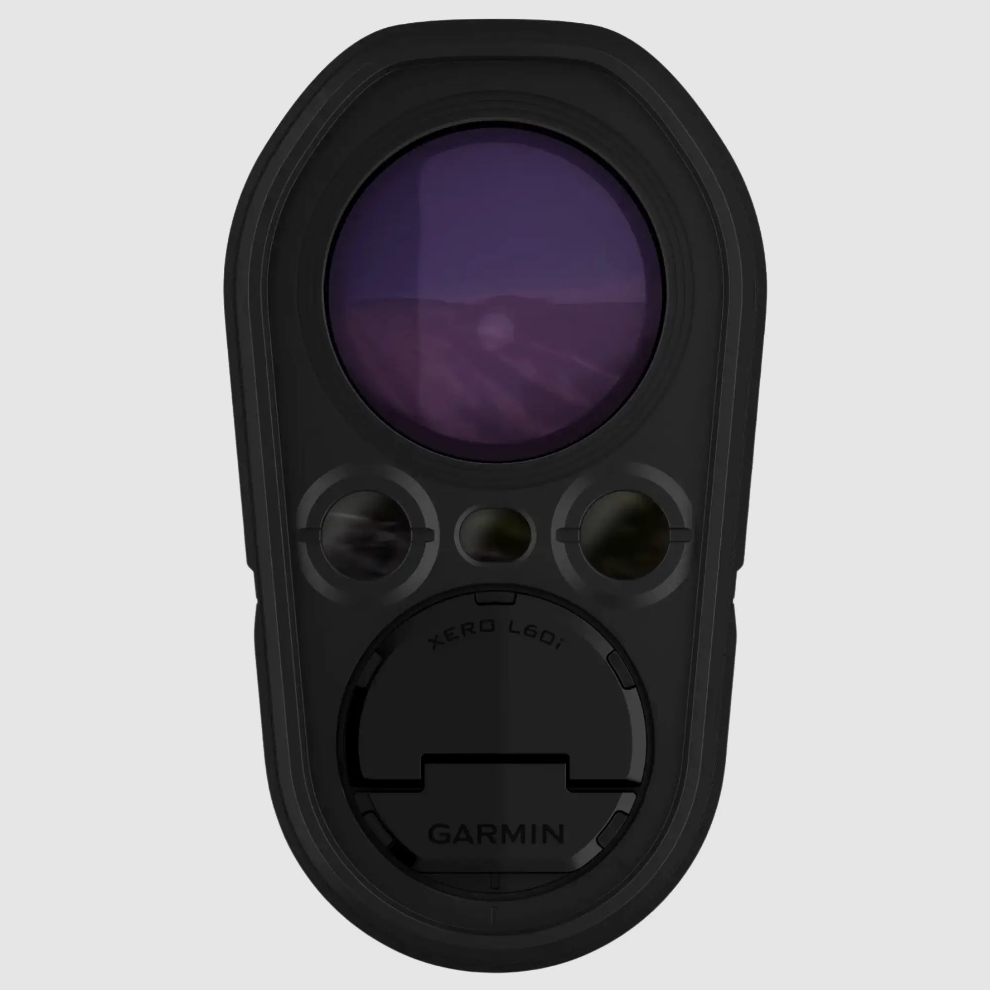
IPX7 and USB-C, storage 32 GB
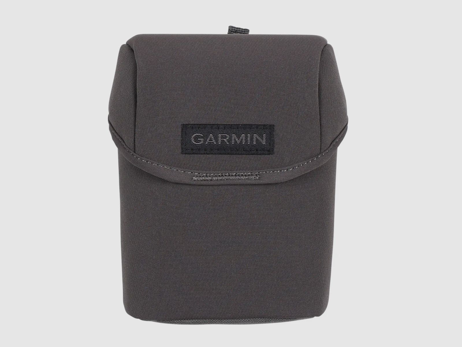
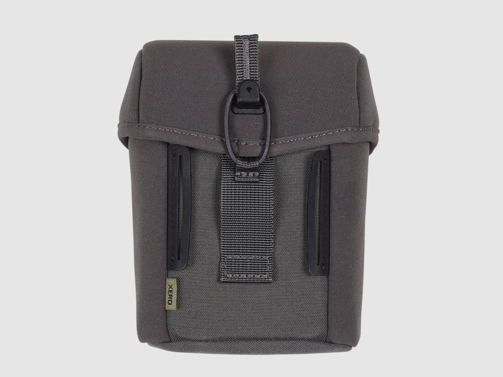
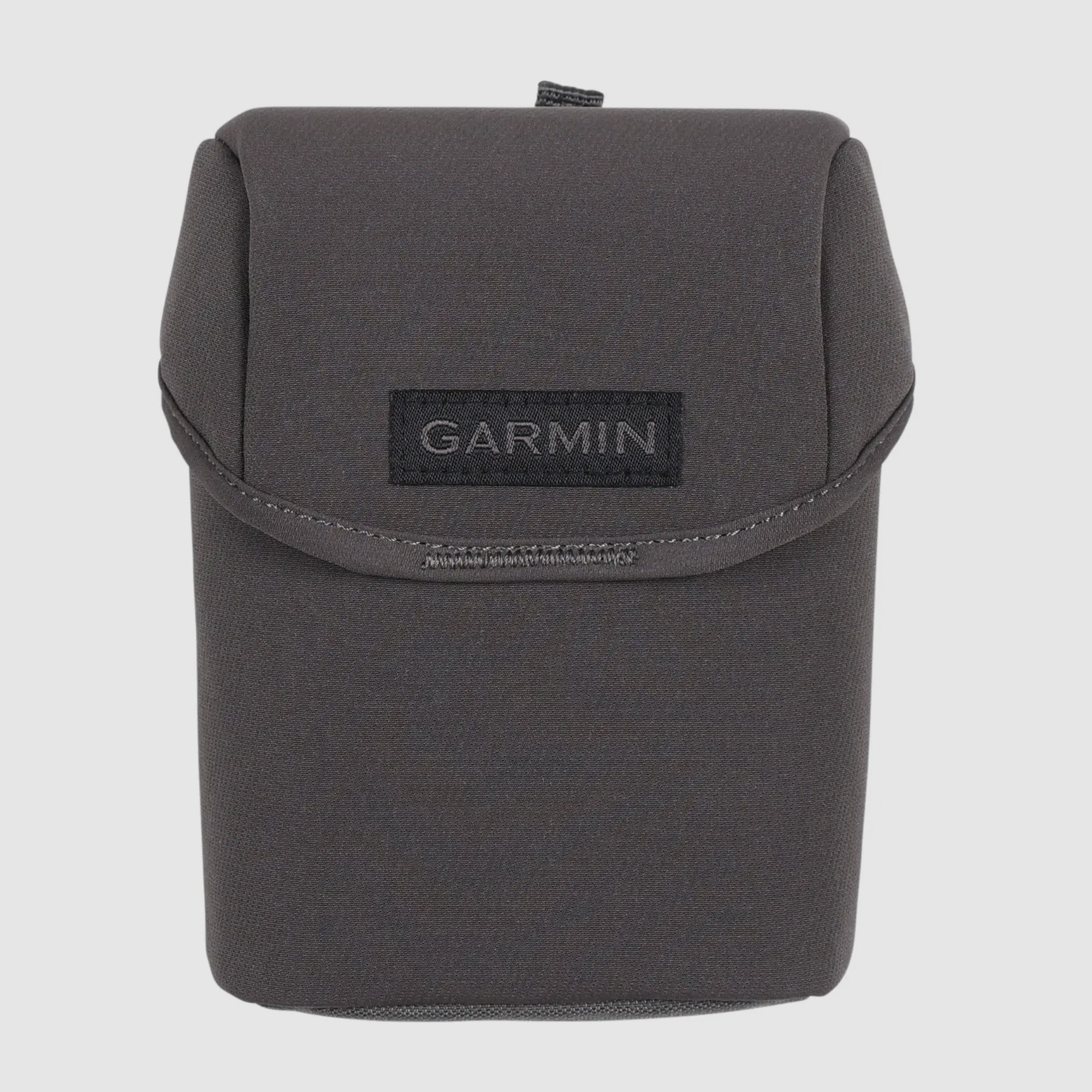
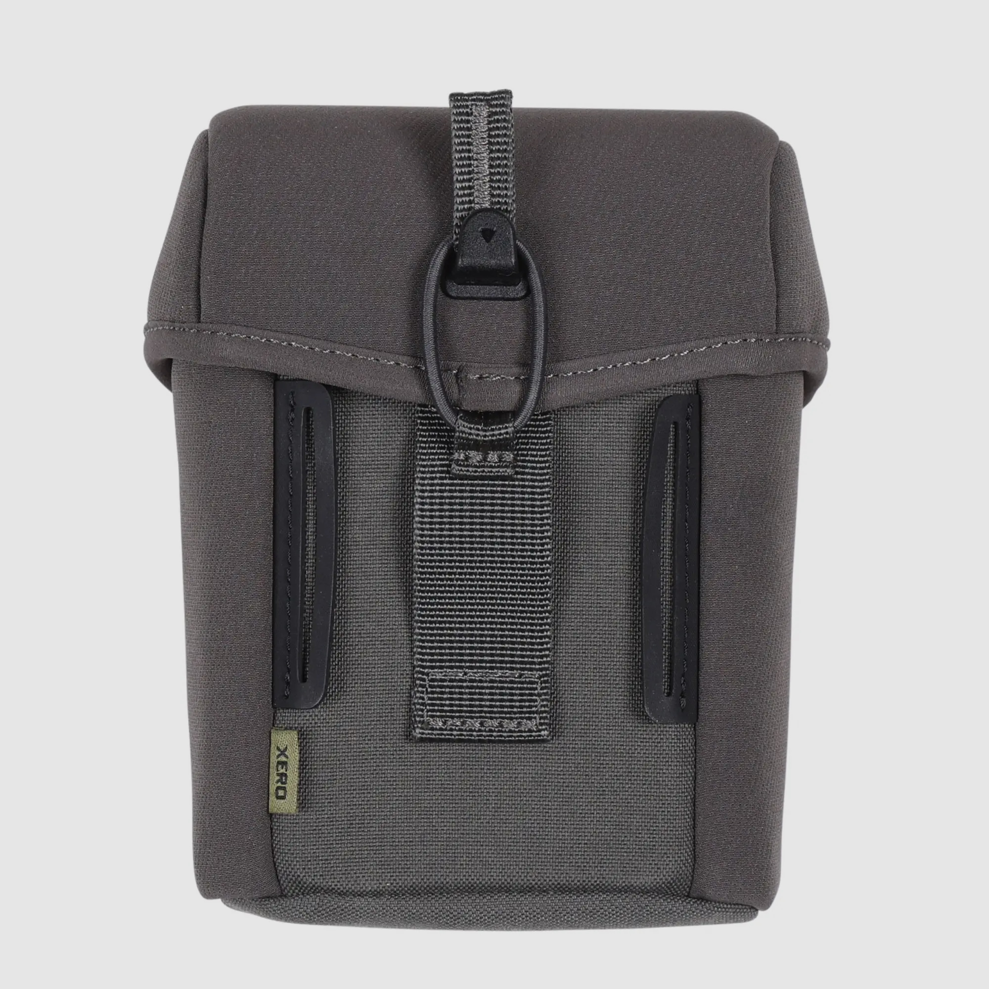
Delivery includes: Xero L60i, carrying case, safety strap, 2× AAA lithium batteries, power/data cable, documentation
(Show description in original language)
Garmin Xero L60i – Entfernungsmesser mit Karten, Wegpunkten und Ballistik im Blick
Ein gutes Gefühl entsteht, wenn Distanz, Richtung und Position zusammenpassen. Der Garmin Xero L60i kombiniert einen präzisen Laser-Entfernungsmesser mit GNSS, Sensorik und einer farbigen Display-Überlagerung. So sehen Sie beim Ansprechen nicht nur Meterwerte, sondern auf Wunsch auch Karte, Kompass und Navigationshinweise direkt im Einblick.
Im Revier ist das praktisch, wenn Gelände, Schneisen und Kanten schnell wechseln. Sie messen, setzen Wegpunkte und behalten markierte Positionen im Blick, ohne ständig das Smartphone herauszuholen.
Entfernung messen, schnell einordnen
Mit 7-facher Vergrößerung und klarer Optik misst der Xero L60i zuverlässig auf jagdlich relevante Ziele. Bei hellen Bedingungen erreicht er bis 1.375 m auf Tiere und bis 1.800 m auf Bäume. Unter optimalen Bedingungen sind deutlich größere Distanzen möglich, bis hin zu 7.000 m auf retroreflektierende Ziele.
Karte und Navigation direkt im Einblick
Die grafische Farb-Überlagerung zeigt Distanz, Position und Navigation sauber im Bild. Mit den integrierten TopoActive-Karten können Sie sich zu gesetzten Punkten führen lassen, inklusive Orientierung über 3-Achsen-Kompass und Sensorik. Wenn eine Markierung unterwegs aus dem Blick gerät, hilft der visuelle Abruf, die Position wiederzufinden.
Wegpunkte setzen, auch wenn das Ziel weit draußen liegt
Mit Laser Locate projizieren Sie einen Wegpunkt auf ein gemessenes Objekt und speichern die Position. Liegt ein Punkt außerhalb der Laserreichweite, kann Sensor Locate ebenfalls eine Positionsmarkierung setzen. Das hilft bei der Revierarbeit, etwa um Anschussbereiche, Einstände oder markante Geländepunkte später wieder sauber anzulaufen.
Ballistik und Garmin-Ökosystem sinnvoll verknüpft
Über die AB Quantum App lässt sich Applied Ballistics Ultralight nutzen, freischaltbar per App. Der Xero L60i kann so, bei Bedarf, ballistische Informationen einblenden. Für das Bogenschießen sind zusätzliche Daten wie winkelkorrigierte Distanz und weitere Pfeilwerte verfügbar.
Wegpunkte und Daten können Sie an kompatible Garmin Geräte und die Garmin Explore App übertragen. Das ist hilfreich, wenn Sie im Team arbeiten oder Positionen sauber dokumentieren möchten.
Wichtigste Merkmale im Überblick
Laser-Entfernungsmesser mit farbiger grafischer Überlagerung
Messreichweite bei hellen Bedingungen: Tiere bis 1.375 m, Bäume bis 1.800 m
Hohe Maximaldistanz unter optimalen Bedingungen bis 7.000 m (retroreflektierend)
7× Vergrößerung und klare Optik dank 32mm-Objektiv
GNSS und Sensorik für präzise Positionsbestimmung
Laser Locate und Sensor Locate zum Setzen projizierter Wegpunkte
TopoActive-Karten, 3-Achsen-Kompass, Höheninformationen und Navigation
Visueller Abruf zum Wiederfinden markierter Positionen
Applied Ballistics freischaltbar über App, zusätzlich Xero-Ballistik fürs Bogenschießen
IPX7 und USB-C, Speicher 32 GB
Lieferumfang: Xero L60i, Tragetasche, Sicherungsband, 2× AAA Lithium-Batterien, Netz-/Datenkabel, Dokumentation