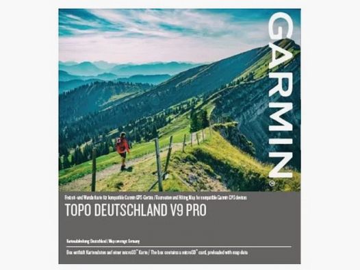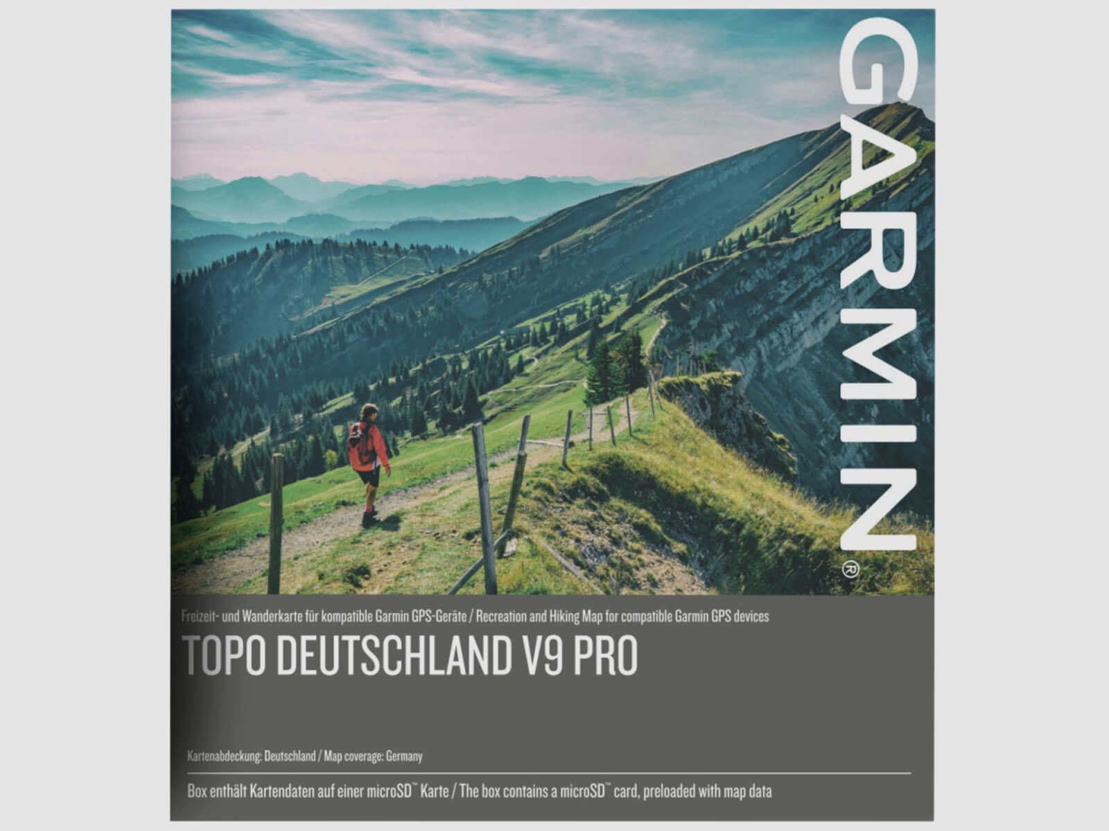
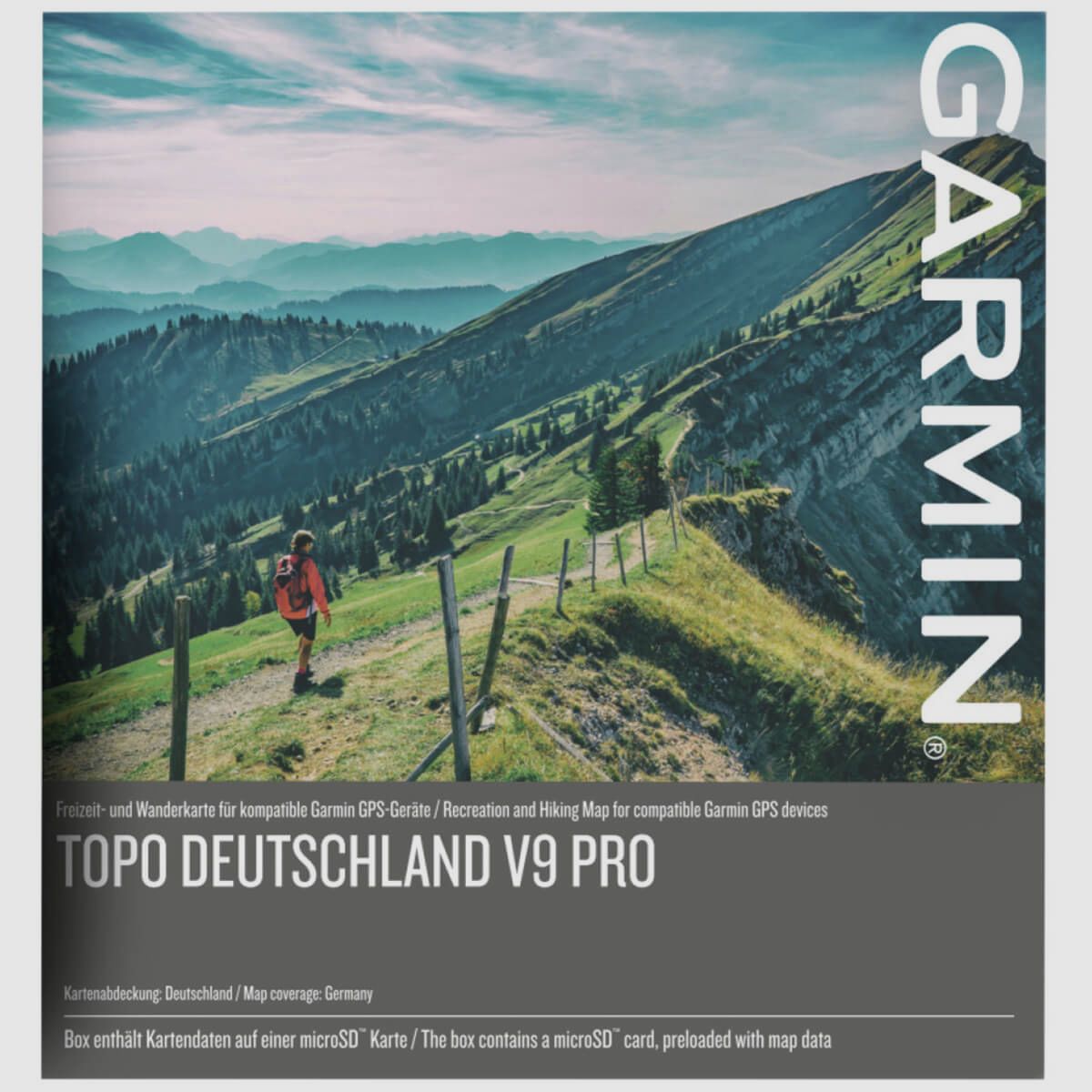

The digital vector map at a scale of 1:25,000 is specifically designed for the Garmin GPS handheld device but can also be used on a PC. The eighth version impresses with proven features, plus coverage of the 350,000 km long cycling route network and the Active Routing function. Another advantage of this map is the winter version, which, in addition to information on ski areas, also marks slope inclinations, allowing potential avalanche areas to be identified early. The Topo Map Germany V8 Pro from Garmin is a true all-round talent and particularly helpful for navigation and tour planning.
(Show description in original language)Die digitale Vektorkarte im 1:25.000 Maßstab ist speziell für das Garmin GPS-Handgerät geeignet, lässt sich aber auch auf dem PC verwenden. Die achte Version überzeugt mit bewehrten Funktionen, plus der Abdeckung des 350.000 km langen Radtourennetzes und der Active Routing Funktion. Ein weiterer Vorteil dieser Karte ist die Winterversion, welche neben Informationen zu Skigebieten auch die Hangneigung markiert, wodurch mögliche Lawinengebiete frühzeitig erkannt werden können. Die Topo Karte Deutschland V8 Pro von Garmin ist ein wahres Allroundtalent und besonders hilfreich bei der Navigation und der Tourenplanung.