Note:
The item location is abroad. Please note that this may affect delivery conditions, shipping times, and/or the purchasing process.
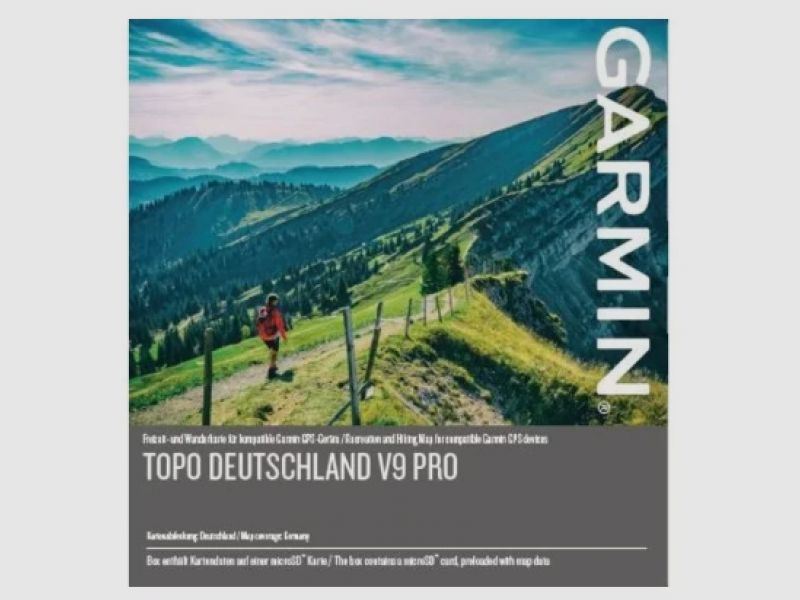
We can assist you with navigation in Germany – from the North Sea coast to the Alps. This topographic map at a reference scale of 1:25,000 comes from a reputable provider and offers updated and accurate data.
Expanded network of paths and trails for recreational activities, detailed network of hiking trails for tourist areas, and long-distance hiking trail network for the entire country.
Displays tourism and route information, including over 340,000 km of cycling routes, mountain bike trails, and popular hiking paths.
ActiveRouting¹ for customizing and planning specific routes based on your user profile for the entire network of roads, paths, and trails. The activity-specific map highlights the suggested cycling and hiking routes.
Address search with house numbers.
Digital elevation model (DEM) with elevation contours at 20-meter intervals.
Special winter map with content for winter activities, e.g., ski slopes, ski lifts, and areas with steep slopes.
¹ Full ActiveRouting features are only supported with certain devices; depending on Garmin GPS device and software version.
(Show description in original language)
Wir können dich bei der Navigation in Deutschland unterstützen – von der Nordseeküste bis hoch in die Alpen. Diese topografische Karte im Referenzmaßstab 1:25.000 stammt von einem angesehenen Anbieter und bietet aktualisierte und genaue Daten.
Erweitertes Netz von Wegen und Pfaden für Freizeitaktivitäten, detailliertes Netz von Wanderwegen für touristische Gebiete und Netz von Wanderwegen für Langstrecken für das gesamte Land.
Zeigt Tourismus- und Routeninformationen an, darunter mehr als 340.000 km an Radfahrrouten, Mountainbike-Wegen und beliebten Wanderwegen.
ActiveRouting¹ zum Anpassen und Planen von speziellen, auf deinem Benutzerprofil basierenden Routen für das gesamte Streckennetz von Straßen, Wegen und Pfaden. Auf der aktivitätsspezifischen Karte werden Highlights der vorgeschlagenen Radfahr- und Wanderrouten angezeigt.
Adresssuche mit Hausnummern.
Digitales Höhenmodell (DHM) mit Höhenkonturen in 20-Meter-Intervallen.
Spezielle Winterkarte mit Inhalt für Winteraktivitäten, z. B. Skipisten, Skilifte und Gebiete mit steilen Hängen.
¹ Vollständige ActiveRouting-Funktionen werden nur mit bestimmten Geräten unterstützt; abhängig von Garmin-GPS-Gerät und Softwareversion.