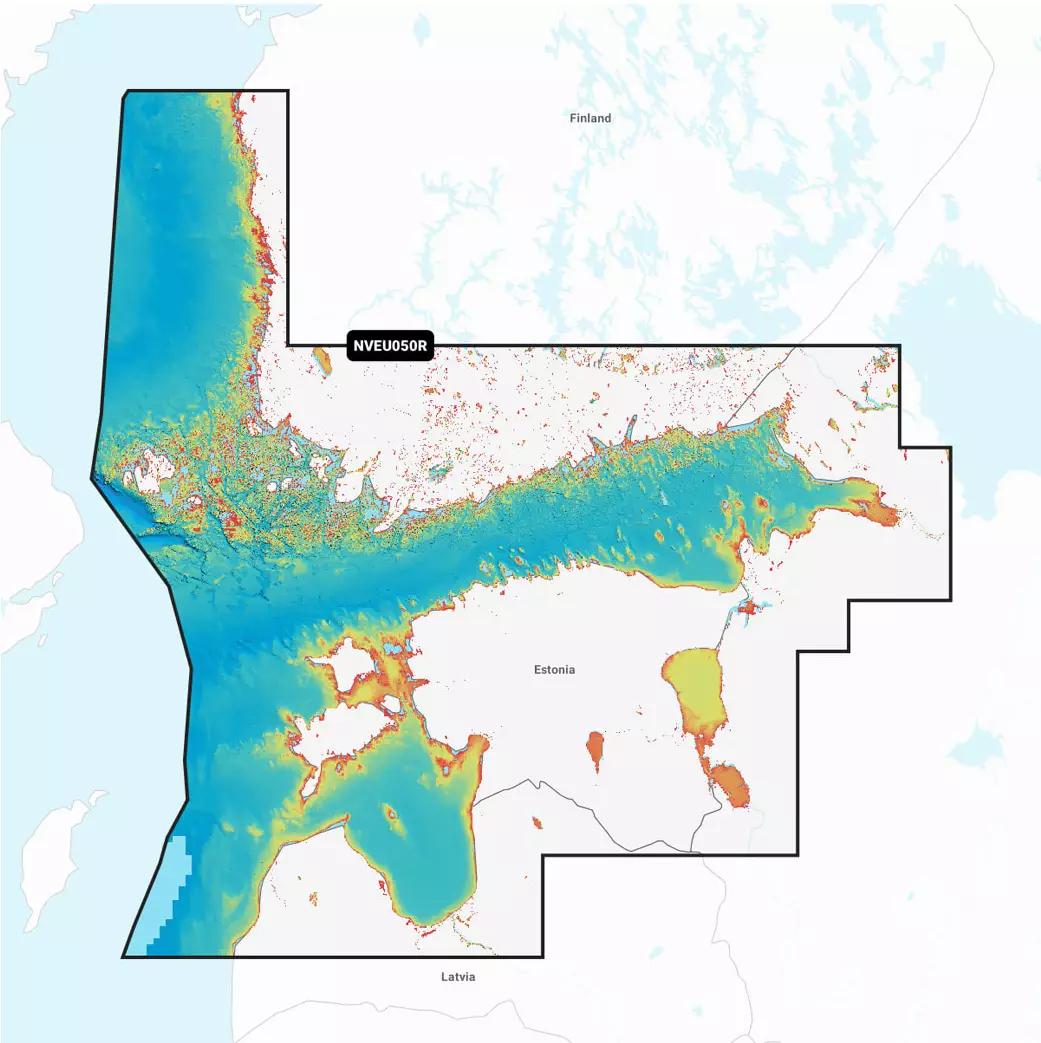
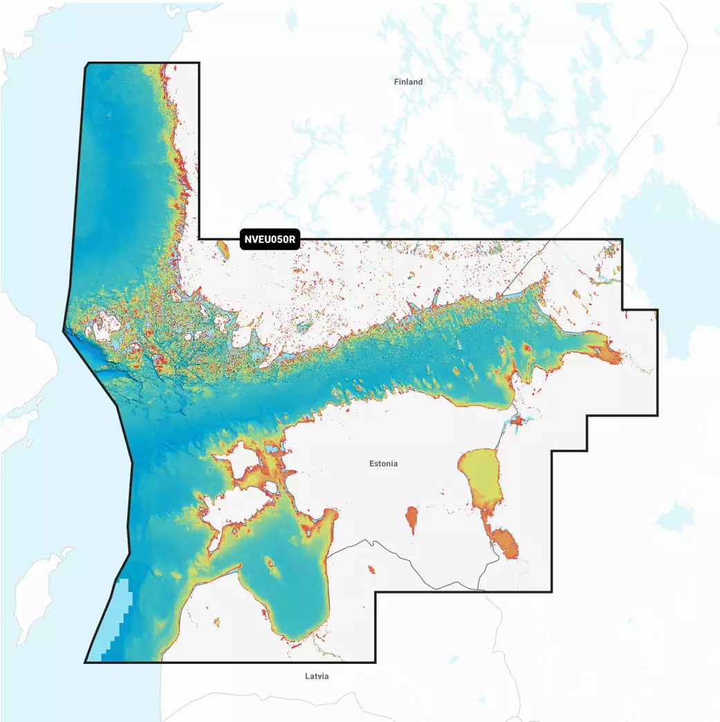
Garmin Navionics+ Vision Gulf of Finland Chart Card EU644L
≈ $279
Price at the dealer: 249.90 €. Converted at the ECB rate as of November 06, 2026.
No permit required (18+)
04360 Tuusula, Finland
0
ID: 11438174
Purchase from outside the EU: The firearm goes through an importer in your country, the dealer handles the export.
How buying from Europe works
Shop safely with Gunfinder
Our AI-powered seller identity verification makes Gunfinder the safest marketplace online.
Learn more
Details
- Original language
- Finnish
- Brand
- Garmin
- Condition
- New
- Location
- 🇫🇮 04360 Tuusula, Finland
- Availability
- In stock
Freshness
This listing is based on a mirrored offer, where the listing data was synced to us from a shop, dealer, or external marketplace. Please note that temporary price discrepancies may occur due to possible delays in data transmission.
- Source
- Ruoto
- Last checked with the dealer
- about 4 hours ago
Description
Note:
The item is located abroad. Please note that delivery conditions, shipping times, and/or the purchase process may differ.
Garmin Navionics+ -kartoissa on eloisat värit ja virtaviivainen käyttöliittymä, joka yhdistää rannikon ja sisävesien sisällön. Karttakortti tarjoaa mahdollisuuden mukauttaa näkymää monenlaisilla karttatasojen ja päällekkäistietojen yhdistelmillä. Käyttäjät saavat yhden vuoden tilauksen, joka mahdollistaa päivittäiset karttapäivitykset ActiveCaptain-sovelluksen kautta.
Garmin Navionics+ Vision Suomenlahti - Ominaisuudet:
Yksityiskohtaiset kartat Suomenlahden alueelta
Eloisat värit ja virtaviivainen käyttöliittymä
Mahdollisuus mukauttaa näkymää karttatasojen yhdistelmillä
Yhden vuoden tilaus päivittäisiin karttapäivityksiin
Auto Guidance+ -tekniikka reittiehdotuksiin
Syvyysalueen varjostus jopa 10 värillä
Tarkat käyrät 0,5 metrin välein
Merenpohja-alueiden väripaletti
Relief Shading -varjostus
Tarkat satelliittikuvat ja ilmakuvat
3D FishEye- ja MarinerEye-näkymät
Mahdollisuus säätää kartat järven vedenpinnan tasolle
ActiveCaptain-yhteisön lisäämä sisältö
Karttakortti on suunniteltu tarjoamaan veneilijöille kattavat ja ajantasaiset tiedot, jotka helpottavat navigointia ja parantavat tilannetietoisuutta. Se on yhteensopiva useiden Garmin-karttaplottereiden kanssa, ja sen avulla voit suunnitella reittejä ja löytää parhaat kalastuspaikat helposti.
Tuoteteksti päivitetty 27.3.2025.