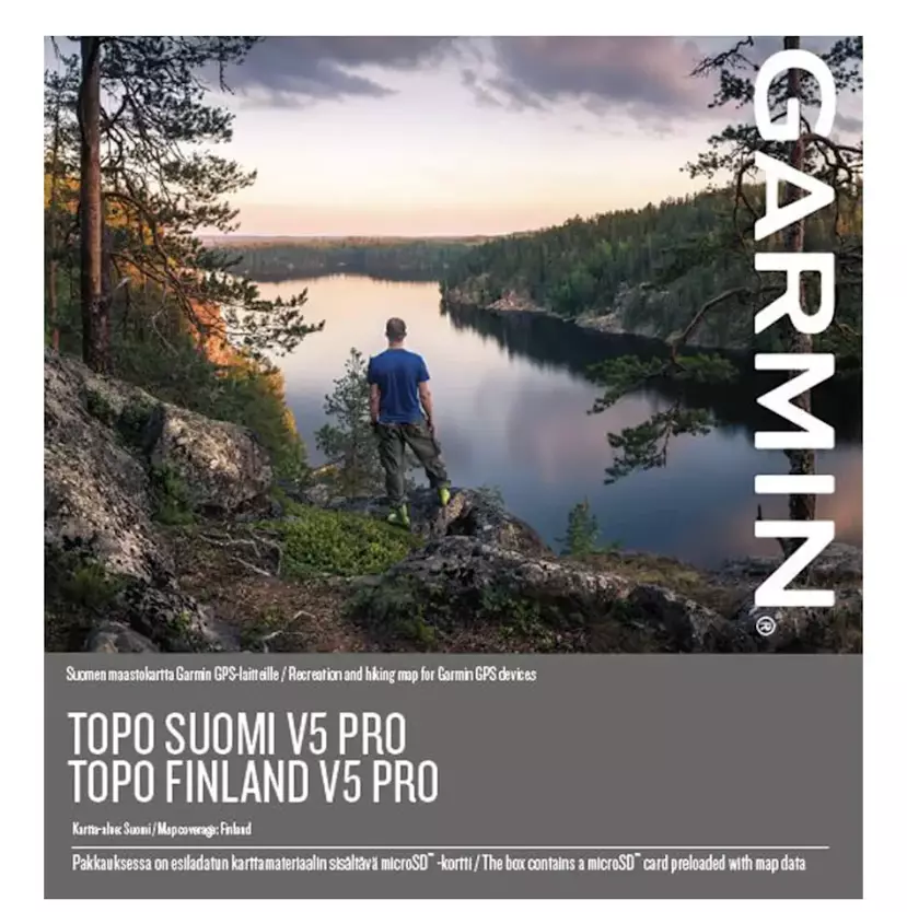

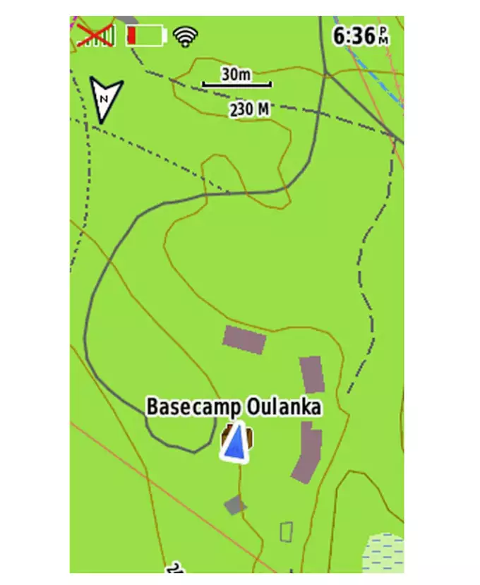

Garmin Topo SUOMI V5 PRO High-quality topographic map at a scale of 1:10,000–1:5,000. The point-of-interest search supports Finnish, Swedish and English, so you’re sure to find what you’re looking for.
≈ $88
Price at the dealer: 79 €. Converted at the ECB rate as of November 06, 2026.
No permit required (18+)
42100 Jämsä, Finland
0
ID: 11406360
Purchase from outside the EU: The firearm goes through an importer in your country, the dealer handles the export.
How buying from Europe works
Shop safely with Gunfinder
Our AI-powered seller identity verification makes Gunfinder the safest marketplace online.
Learn more
Details
- Original language
- Finnish
- Brand
- Garmin
- Condition
- New
- Location
- 🇫🇮 42100 Jämsä, Finland
- Availability
- In stock
Freshness
This listing is based on a mirrored offer, where the listing data was synced to us from a shop, dealer, or external marketplace. Please note that temporary price discrepancies may occur due to possible delays in data transmission.
- Source
- Aawee
- Last checked with the dealer
- about 19 hours ago
Description
Note:
The item is located abroad. Please note that delivery conditions, shipping times, and/or the purchase process may differ.
Sisältää ActiveRouting1-ominaisuuksia, joilla voit suunnitella ja mukauttaa reittejä koko tie- ja polkuverkostossa suoritusprofiilisi perusteella. Suorituskohtainen kartta taas näyttää sisällön eri väreillä suoritusten mukaan
Näyttää yli 471 000 kilometriä käännöskohtaista katunavigointia, 20 000 km kävely- ja pyöräilyreittejä sekä 252 000 km muita polkuja
Sisältää yli 4 miljoonaa hakukelpoista vapaa-ajan ja matkailun kohdepistettä, mukaan lukien ravintolat, majapaikat, pysäköintipaikat, maantieteelliset paikat, saaret ja vuoristomökit
Sisältää kiinteistöjen rajat sekä järvialueiden osalta syvyyskäyrät ja -luotaukset
Yhteensopiva maksuttoman BaseCamp™ -ohjelmiston kanssa. Sillä voit suunnitella matkasi tietokoneella ja siirtää reitit ja reittipisteet tietokoneesta yhteensopivaan laitteeseen.